
Tropical Cyclone Wind Signal No. 1 remain hoisted over 11 areas in the country as Tropical Depression Lannie heads toward the southern portion of Panay Island, PAGASA said Monday.
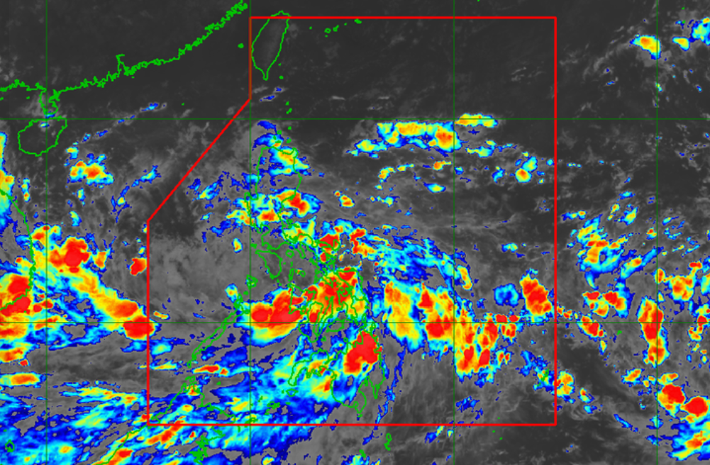
In its 8 p.m. severe weather bulletin, PAGASA said Lannie was last seen over the coastal waters of San Joaquin, Iloilo at 7 p.m. with maximum sustained winds of 45 kilometers per hour near the center, gustiness of up to 55 km per hour, and central pressure of 1002 hPa. It is moving westward at 25 kph.
TCWS No. 1 was raised over the following:
Luzon
- the southern portion of Romblon (Cajidiocan, San Fernando, Magdiwang, Santa Maria, Odiongan, Alcantara, Ferrol, Looc, Santa Fe, San Jose)
- the southern portion of Oriental Mindoro (Roxas, Mansalay, Bulalacao, Bongabong)
- the southern portion of Occidental Mindoro (Sablayan, Calintaan, Rizal, San Jose, Magsaysay)
- the northern portion of Palawan (El Nido, Taytay, Dumaran, Araceli) including Calamian and Cuyo Islands
Visayas
- Capiz
- Aklan
- Antique
- Iloilo
- Guimaras
- Negros Occidental
- the northern and central portions of Negros Oriental (Bais City, Mabinay, City of Bayawan, Basay, City of Tanjay, Manjuyod, Bindoy, Ayungon, Tayasan, Jimalalud, La Libertad, City of Guihulngan, Vallehermoso, Canlaon City)
PAGASA said from Monday night to Tuesday morning, moderate to heavy rains will be experienced over Western Visayas and MIMAROPA, while light to moderate with, at times, heavy rains will prevail over CALABARZON, Bicol Region, Mindanao, and the rest of Visayas.
“Under these conditions, scattered flooding (including flash floods) and rain-induced landslides are possible especially in areas that are highly or very highly susceptible to these hazard as identified in hazard maps,” PAGASA said.
Strong winds with occasional gusts will also be experienced in areas under TCWS No. 1, which might cause up to very light damage to structures and vegetation.
The enhanced easterly flow north of the Lannie will also bring occasionally gusts reaching strong breeze to near gale in strength over extreme Northern Luzon and the coastal and upland/mountainous areas of the eastern section of Luzon in the next 24 hours, PAGASA said.
In the next 24 hours, Lannie will bring moderate to rough seas over the coastal waters of the country, especially in areas under TCWS No. 1.
“Mariners are advised to take precautionary measures when venturing out to sea and, if possible, avoid navigating in these conditions,” PAGASA warned.
Lannie will move generally west northwestward and might make landfall over the southern portion of Panay Island on Monday night before emerging over the Sulu Sea and cross the Cuyo archipelago. -NB, GMA News
PAGASA: 11 areas under Signal No. 1 as Lannie heads to southern Panay
Source: Pinoy Hub News


0 Comments